
www.buildingsandcities.org/about/virginia-gori.html
Virginia Gori
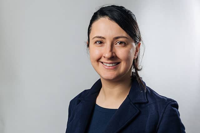
Dr Virginia Gori is a Lecturer in Buildings and Energy at the UCL Energy Institute, University College London. Her research focusses on using data-driven approaches to understand the operational performance of buildings, to provide evidence-based insights for better design and decision-making in the building industry and policy landscape. Her expertise lies at the interface of building physics, in-situ monitoring and energy modelling and analytics, often with a focus on retrofit.
Virginia is Technical Committee member for the European Committee for Standardisation and has been expert member in the International Energy Agency (IEA) Annex 71, Annex 81 and Task 59/Annex 76 projects.
Latest Commentaries
Who is Responsible for Climate Change?
Ian Cooper (Eclipse Research) explores the questions of responsibility raised in the recent Buildings & Cities special issue ‘Climate Change Risk and Decision-Making’. Focusing here on carbon emissions and mitigation, global responses will require grounding in what can work locally. New responsibilities arise for the wide range of built environment decision-makers: clients, professionals and their institutions, central and local governments, product suppliers, financiers, insurers, etc. A framework is needed to manage the complexity of responsibilities especially for variety of actors, the time frames and spatial scales.
Professional Ethics in a Climate Crisis
The climate crisis has progressed into a dangerous phase with tragic consequences often counted in numbers of excess deaths, but also by powerful economic impacts of rising food prices, the increased costs of insurance and lending, costly damage to the built environment. Celia Davies, Director of Impact at the UK’s Town and Country Planning Association (TCPA) and Hugh Ellis, Director of Policy at TCPA, consider the responsibilities of professionals in shaping a built environment which is fit not just for today's climate risks but for the dramatic increase in severe and unpredictable weather which is now locked into our climate systems.